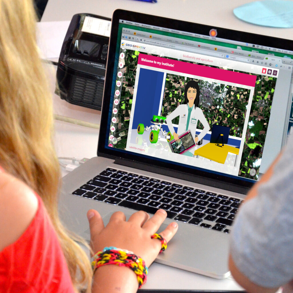
Remote sensing of the earth covers many topics that are significant for all natural science disciplines in school and university curricula. Satellite imagery and data derived from satellite sensors are available from studies of local or regional phenomena. This covers larger scales, as it is typical for remote sensing using satellites, but also the region around schools, and allows thus to point out the dependence between local and global scales. Remote sensing data are used to explain actual conditions on earth. But they also allow to outline the methods for predicting future developments – e.g. of the climate system – with models.
The SIG is a platform for information exchange among people interested in the use of methods and results of earth observation and the application of Remote Sensing.
- in the curriculum at all school levels,
- in lectures at university on physics, biology, chemistry and earth sciences,
- at organisations and authorities involved in environmental monitoring and survey
Membership in our hosting organisation, the European Association of Remote Sensing Laboratories is recommended but is not a prerequisite.